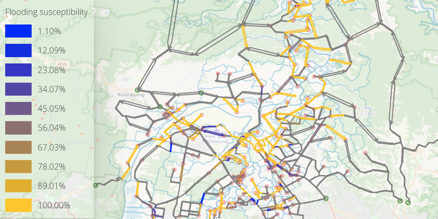
The The Flood Evacuation Capacity Model (FECM) estimates and forecasts nominated factors based on a range of river rising flooding events up to the Probable Maximum Flood using Multi-Agent Transport Simulation (MATSim) software.
FECM supports allocating populations, modifying road network capacity and reviewing risk impacts, and has the capability of efficiently measuring locality-specific risk-to-life and operational performance of the evacuation network.
FECM complements the Flood Evacuation Model 2 Results from FECM are verified via the Flood Evacuation Model 2 which offers added specifics.
FECM delivers a customised model program with user-friendly dashboard which produces consistent, repeatable, and reliable results.
FECM produces rapid results in hours, is pre-loaded with input datasets and is immediately ready for use to modify populations and reconfigure road networks.

