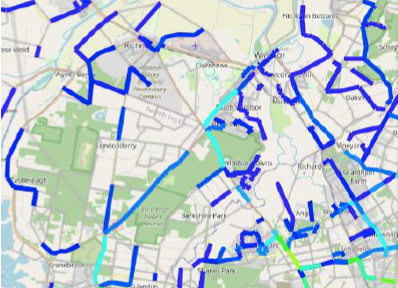
The simulation modelling forecasted locality-specific risk-to-life and operational performance of the evacuation network when loaded with a range of land use variations, dam height adjustments, road network upgrades and emergency operational options.
The evaluations were based on a range of population estimates up to 2041 and river rising flooding events up to the Probable Maximum Flood which included climate change conditions.
The Flood Evacuation Model 2.1 based on Multi-Agent Transport Simulation (MATSim) software was applied.
Delivered around eighty scenario results under secure and sensitive conditions.
All results were accessible in a simulation visualisation format as well as interactive graphic reporting formats.
Produced and presented outcomes and results efficaciously to various committees and groups.


